QMapControl
From Openmoko
(Difference between revisions)
Revision as of 23:03, 1 December 2007
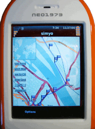
Displays maps from WMS servers or tile servers like OpenStreetMap. Custom data can be added: points, lines, images or even other widgets like buttons. All those can be bound to a specific coordinate. A parser is included, which reads data from gllin. QMapControl is still in development, hopefully some people join the development.
project website: http://www.medieninf.de/qmapcontrol/

